
This work focuses on developing collaborative exploration strategies that allow robots and humans to learn and co-adapt to exploit synergies within human-robot teams. Many existing collaborative strategies allocate tasks by leveraging each member’s strengths. By allowing robots to learn from their human teammates, humans can transfer some of their tasks to their robotic teammates enabling them to focus on tasks that are particularly challenging for robots, e.g., complex manipulation tasks. The goal of this work is to develop a framework that enables robots to learn domain specific knowledge to improve its execution of a collaborative human-robot tasks.
Initial results include a neural network-aided robot exploration strategy where domain expert knowledge, in conjunction with geometric and topological features around the exploration frontier, is used to improve the performance of a robot-only exploration strategy. The idea is for a robot to learn and apply domain expert knowledge during its selection of next best candidate location for exploration and mapping. We compared our approach to a baseline information-theoretic mapping and exploration strategy where a single robot is tasked to map and explore an unknown office-like environment. Our results shows how domain knowledge can improve the overall performance of the untrained strategy. In particular, our strategy shows a significant increase in the acquisition rate of semantic and topological information of the workspace during exploration.
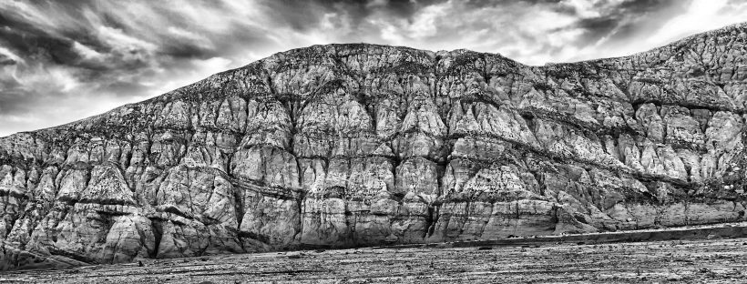
This work is currently extended to enhance geology practice and workflow. We are collaborating with cognitive scientists and geologists to develop strategic data-collection routines and support scientific inferences in natural environments. Aerial robots equipped with onboard odometry, cameras, and lidars are particular well suited for these tasks since geologists are often interested in rock formations located in regions that are difficult to access by foot. Furthermore, collection of large amounts of surface and three dimensional data can be automated rather than rely on sparse manual measurements. Initial data collection efforts are focused in the Mecca Hills region in Southern California.